Military Images
Outlined below are examples of military target characterization and tracking derived from a variety of imagery data sources, from multiple points of view, and in different lighting conditions.
The U.S. military continues to pursue technology that will radically improve capabilities to find, identify, and track targets anywhere on the globe, in all environments, wherever imagery can be obtained.
Structures, Vehicles, People
Bézier curves do more than place a rectangular box around people, vehicles, and weapons, they find, characterize, and make decisions based upon their actual shape.
Fermilab
Aerial detection of Fermilab accelerator
Infrared Vehicle
Detecting multiple vehicles in infrared
Infrared person
Detecting person with weapon in infrared
Terrain
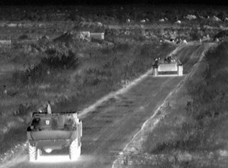
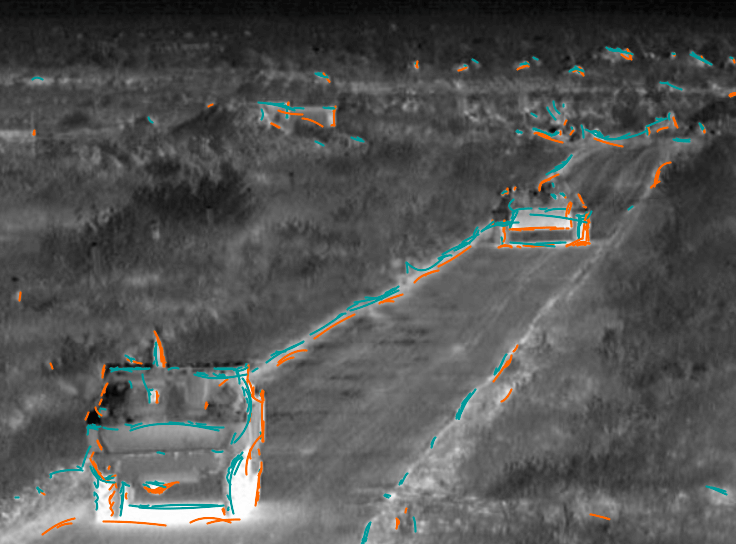
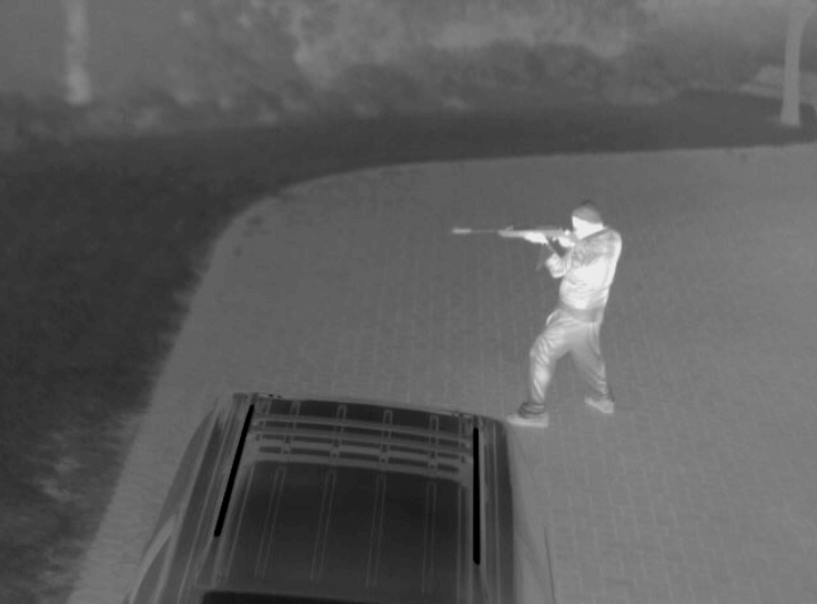
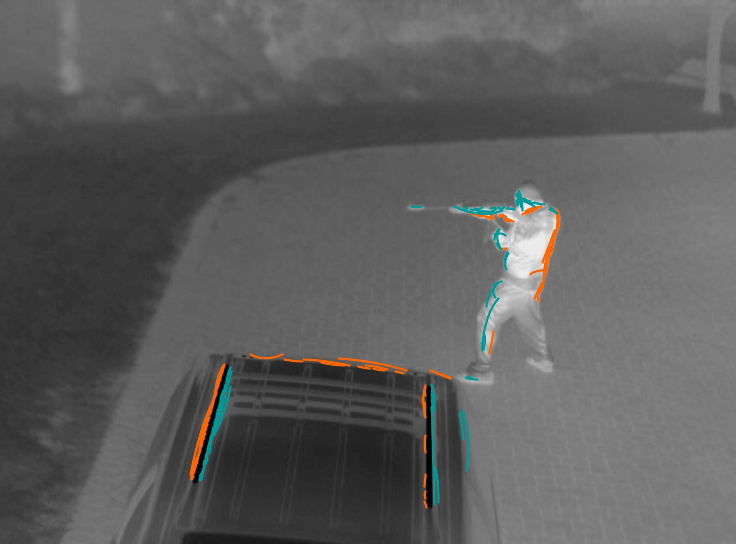
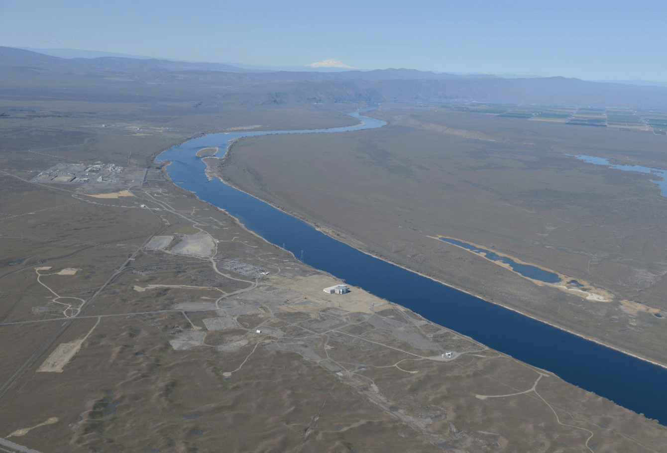
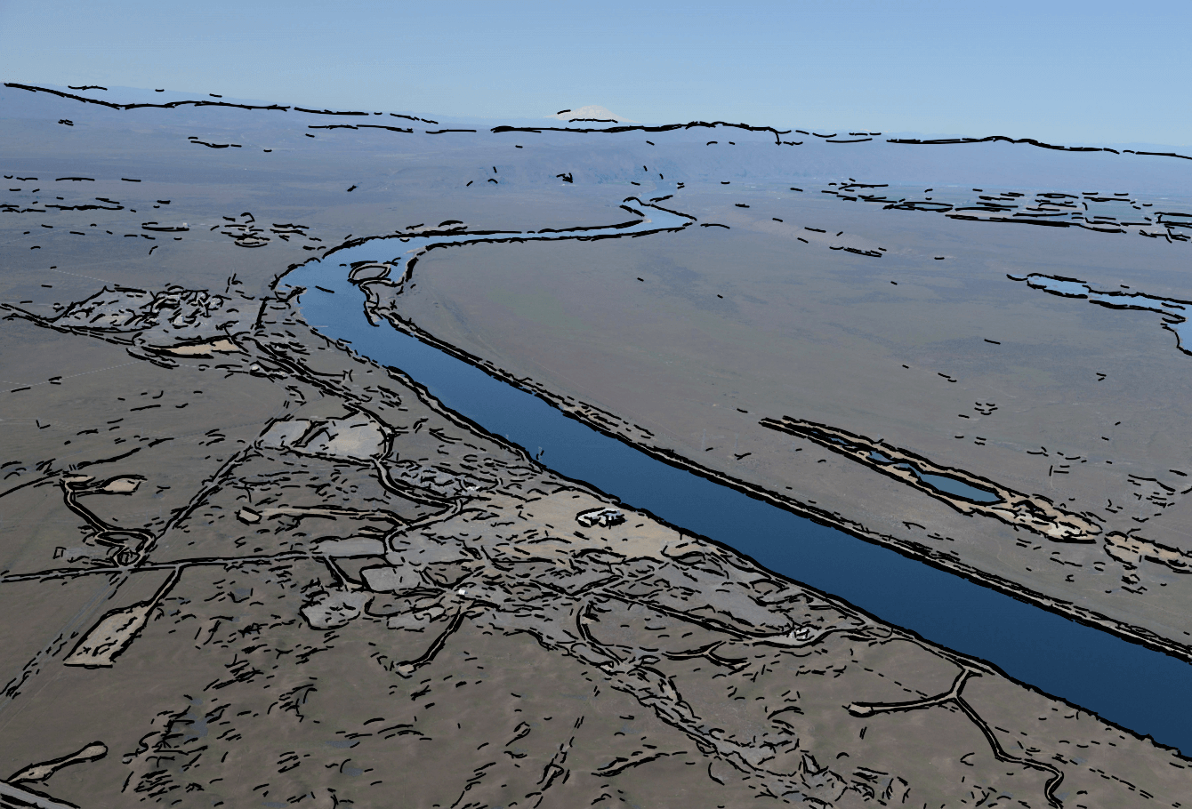
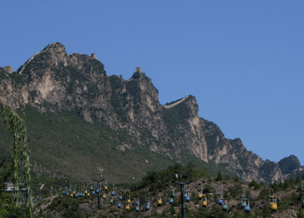
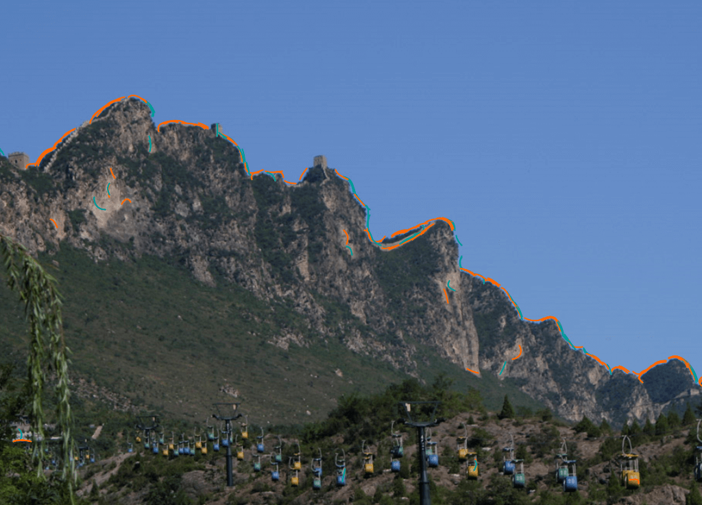
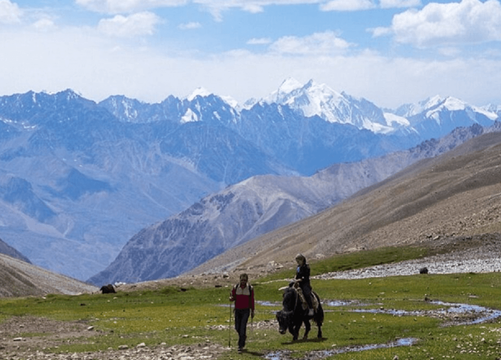
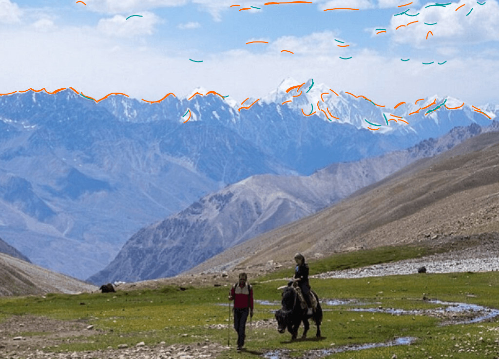
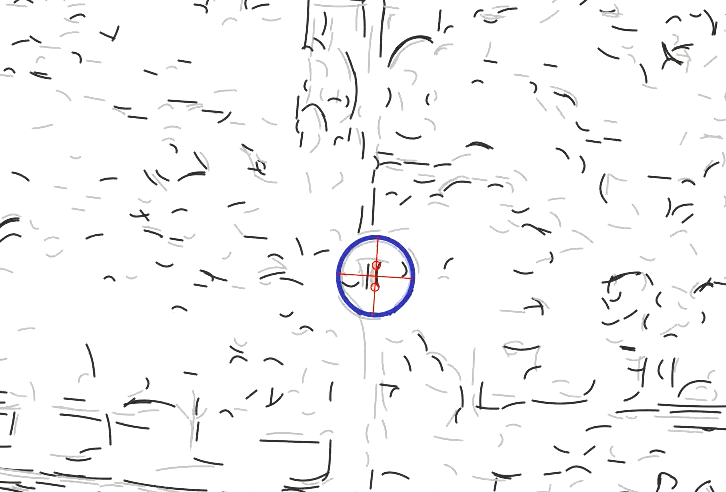
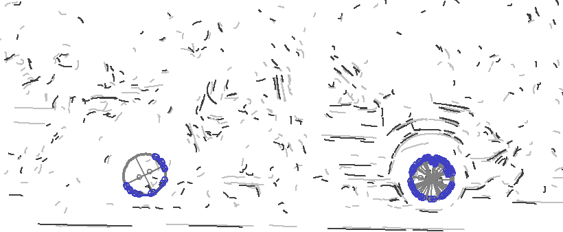
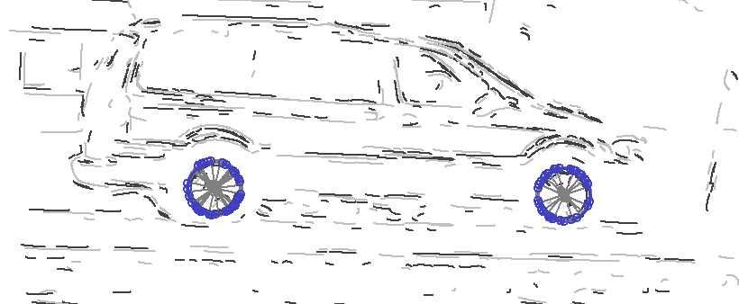
The process of extracting topographic features such as ridge lines, peaks, skylines, and river banks taken at or near-ground levels is time consuming, tedious, and frequently requires adjustment for occlusions and varying meteorological conditions. Bézier curves can be used to quickly and efficiently create terrain signatures for navigation, forensic search, and mapping.
Hanford reservation
Terrain Signature of the Hanford Reservation in Eastern Washington
Great wall of china
Terrain Signature of the Great Wall of China at Yanshanshan
Afghanistan
Terrain Signature of the Wakhan Corridor in Afthanistan
Vehicles & Land
The world as seen through Bézier curves: note the very low false positives in naturally occurring objects such as trees.
Stop Sign
Detection of stop sign on a “wet” background
Occluded Vehicle
Successfully detecting occluded vehicle wheels
Standard Vehicle
Vehicle detection with ellipse detector turned on